Country Information
Kenya (officially: Republic of Kenya; English: Republic of Kenya) is a presidential republic in East Africa and a member of the Commonwealth of Nations. Kenya, along with Djibouti, Eritrea, Ethiopia, Sudan, and Somalia, belongs to the ‘Horn of Africa’.
Kenya lies on the equator, has a surface area of 582,646 km², making it 14 times larger than the Netherlands. Inland waters such as rivers and lakes cover 11,230 km². Kenya borders Ethiopia (830 km) and Sudan (232 km) to the north, Somalia (682 km) and the Indian Ocean to the east, Uganda (933 km) and Lake Victoria to the west, and Tanzania (769 km) to the south.
Read More...
Along the coast, which is indented here and there, lie a series of coral reefs and a number of islands, including the Lama Archipelago and Mandu. From the coastal strip, which is up to 200 km wide and up to 150 m high, the land slowly rises to a plateau region situated parallel to it, at a height of 150 to 300 metres. In the north and northwest, this transitions into an area of highlands between 300 and 1500 metres, belonging to the East African Plateau, which in the southwest transitions into the Kenya Highlands, 1500 to 3000 m high.
The Highlands are bisected in a north-south direction by the East African Rift Valley, which is a branch of the north-to-south Great African Rift Valley, 600 to 900 m lower than the surrounding area and flanked by high volcanoes. The rift valley is 48 to 64 kilometres wide. Near Lake Naivasha, the rift valley is approximately 2000 metres above sea level.
Here we also find Africa's second-highest mountain, Mount Kenya (5199 metres). This area is the most fertile in the country, and the lower parts of the mountains are intensively used for agriculture. This rift valley contains a number of lakes, including Lake Turkana, which is largely within Kenyan territory, Lake Nakuru, Lake Naivasha, and Lake Magadi. Lake Victoria, only the eastern end of which lies within Kenyan territory, is situated between the two rift valleys. Near Lake Victoria is also the second-highest mountain in Kenya, Mount Elgon (4321 metres). The Great Rift Valley runs from the Middle East to Malawi and is over 5000 kilometres long.
The west of Kenya comprises a rolling landscape of hills stretching from the Sudanese border in the north all the way to Tanzania in the south. In the south, the fertile landscape transitions into an expansive savannah. This is where the largest and most popular wildlife reserves are located. South of the Amboseli Reserve, Mount Kilimanjaro (5895 metres) looms, the highest mountain in Africa, though it lies entirely within Tanzania. North and East Kenya consist of a mountainous landscape with abundant scrubland that merges into a desert landscape where rain rarely falls. Here we find Kenya's wildest and most pristine scenery.
Partially navigable rivers are the Sabaki and the Tana.
Holidays and sights
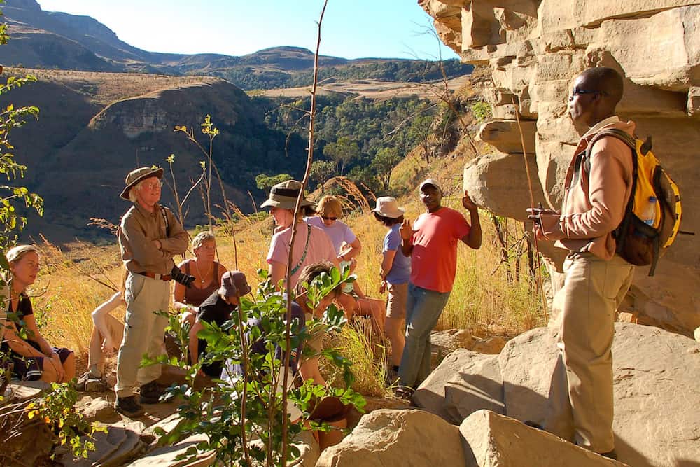
Famous for its classic savannah safaris, Kenya is a land of extremes. Deserts and alpine snow, forests and open plains, the metropolis of Nairobi and colourful tribal cultures, freshwater lakes and coral reefs. For many, Kenya is East Africa in miniature. Wildlife safaris have been Kenya's main tourist attraction for decades; other activities include hiking on Mount Kenya, taking a balloon ride over the Masai Mara and snorkelling in Malindi on the Indian Ocean coast.
The Masai Mara Reserve is one of Kenya's top tourist attractions and its most popular wildlife park. Each year, the Masai Mara is visited by thousands of tourists who come here because of its exceptional wildlife population and to watch the annual migration of zebras and wildebeest. The “Great Migration” takes place every year from July to October, when millions of wildebeest and zebras pass through from the Serengeti in Tanzania.
Lake Nakuru is a very shallow lake in central Kenya. The lake has an abundance of algae and attracts enormous numbers of flamingos, sometimes over a million at once. This creates the greatest bird spectacle on Earth; the flamingos are one of Kenya's top attractions.
Nairobi is the capital of Kenya in East Africa. There are a great many interesting things to see and sights that are worth your visit. The Nairobi National Museum was founded in 1920 and established in its current location in 1929. It offers visitors information about Kenya's history, culture, palaeontology, and art. Many of the fascinating anthropological discoveries by the Leakey family can be seen in this museum. The large collection of stuffed birds is also impressive. The Nairobi National Park is located just a 10-minute drive from the centre of Nairobi, with only a fence separating the park's wildlife from the metropolis. Despite its proximity to the city and the park's relatively small size, Nairobi National Park boasts a large and varied wildlife population. Wildebeest and zebras gather in the park during the dry season, and it is one of Kenya's most successful rhino sanctuaries.
Climate and Weather
Temperature, rainfall and humidity in Kenya are subject to great variations. Four zones can be distinguished with more or less the same climate. The undulating plateau in West Kenya is generally very warm with a considerable degree of humidity. Rain falls there all year round. April sees the most rain, with a maximum of 200 mm; January sees the least rain, around 40 mm. Minimum temperatures are between 14 and 18°C and maximum temperatures between 30 and 34°C. Further west, by Lake Victoria, a tropical climate prevails with average temperatures ranging from 18 to 30°C; heavy tropical rains fall here. The central highlands and the Rift Valley have the most pleasant temperatures, although significant variations can also be observed here. In the lower parts of the Rift Valley it is quite arid, and Mount Kenya has perpetual snow. Rainfall varies from 20 mm in July to 200 mm in April and falls mainly during the periods March to May (long rains) and October to December (short rains). In the Aberdare Mountains and on Mount Kenya, the most rainfall occurs, often exceeding 3000 mm per year. Temperatures range from a minimum of 10-14°C to a maximum of 22-26°C.
The expansive semi-arid bushlands and desert areas in the north and northeast are characterised by large temperature differences. During the day it is around 40°C, while at night the temperature drops to between 15 and 20°C. It does not rain often, and when it does, it often occurs in downpours. July is the driest month here, and November the wettest. The average rainfall is between 250 and 500 mm per year.
The coastal region is hot and humid all year round, although the temperature is tempered by the sea breeze. Rainfall varies from 20 mm in February to 300 mm in May. Annual rainfall is between 1000 and 1250 mm. Average temperatures are roughly the same throughout the year, between 22 and 30°C.
Source: landenweb.nl