Country Information
Swaziland, officially the Kingdom of Eswatini (Swazi: Umbuso weSwatini), formerly the Kingdom of Swaziland, is a country in Southern Africa. It is bordered by South Africa and Mozambique. The country has two capitals: Mbabane is the administrative capital and Lobamba is the royal capital (residence of the Queen Mother, the Ntombi) and the legislative capital (seat of the parliament, which consists of the Senate and the House of Assembly).
History
Archaeological findings show that the area was inhabited as early as 100,000 years ago, but the current Swazi population only moved into the area in the late 18th century. In the 19th century, white people also moved into the area. In 1866, the border with the Transvaal was established, but two years later, Swaziland was annexed by the British.
Read More...
The independence of Swaziland was recognised at the Convention of Pretoria (1881). However, four years later, the British attempted to regain control of the territory, and in 1889 they deposed King Dlamini IV. In response, the Swazi sought protection from the South African Republic, and Swaziland became a protectorate of the South African Republic in 1894. Following the Second Boer War, during which the British conquered the South African Republic, Swaziland became a British protectorate in 1902, and Swaziland only truly became independent on 6 September 1968. On 19 April 2018, the king changed the former name of Swaziland to the Kingdom of eSwatini.
Geography
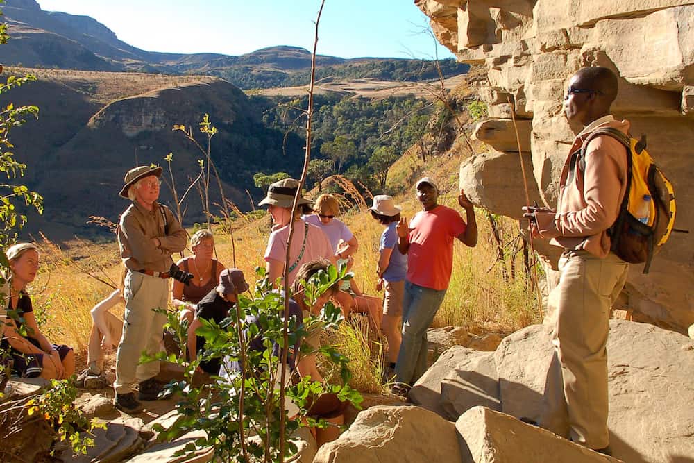
Swaziland is roughly the same size as Wallonia. It is entirely enclosed by South Africa and Mozambique, and consequently has no coastline. It borders South Africa for 535 km and Mozambique for 105 km. There are several border posts with South Africa and two border posts with Mozambique (Goba and Namaacha).
Swaziland can be divided into four geographical regions. In the east, the Lebombo Mountains stretch out with a maximum height of 600 metres and a dry subtropical climate, running north-south. To the west of these lies the lowveld, approximately 200 metres above sea level, dominated by a dry forest landscape. The climate here is almost tropically warm – during the summer months, mercury sometimes rises above 32 °C. Among other things, this region is suitable for sugarcane cultivation. The middleveld, with its fertile hills and valleys, has an average elevation of 700 metres above sea level. It covers more than a quarter of Swaziland's total area. The highveld in the west of the country is situated approximately 1,300 metres above sea level and transitions into the South African Drakensberg mountains in the west. Forested areas are found here, among other features. The region generally enjoys a favourable climate.
Constitution
In 1977, King Sobhuza II abolished parliament. In the meantime, there is a government that can also make laws. The king has absolute power and can ensure that laws are not passed, yet he makes little use of this.
In 1986, Prince Makhosetive came of age and was crowned King, under the name Mswati III. Recently (2005/2006), there have been increasing protests, mainly among the more educated population, against the King who increasingly rules his country like a dictator.
Source: Wikipedia